
Environmental and Geographical Obstacles

Data Acquisition and Sensor Limitations

Processing
Large Datasets
Large Datasets

High Cost and Inefficient Manual Methods

Inconsistent and Inefficient Data Analysis

Operational
and Logistic Issues
and Logistic Issues
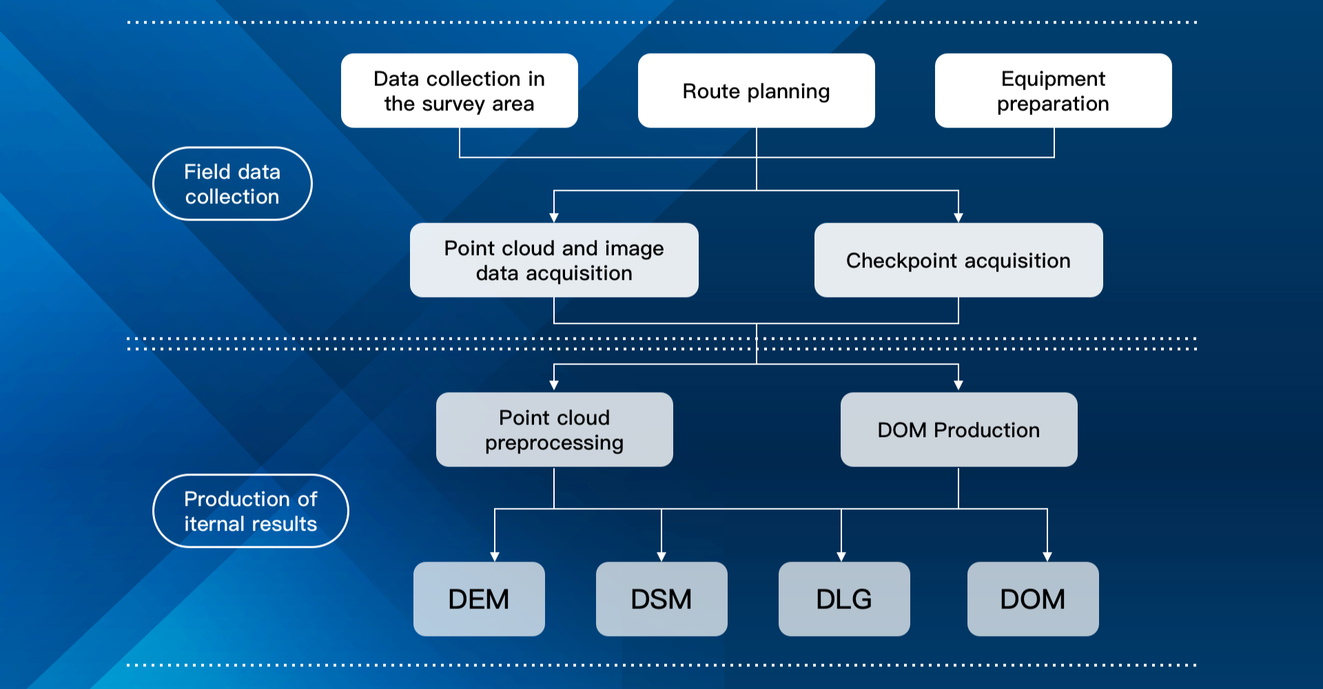

Faster Operation
Execution
Execution

Reduced
Field Time
Field Time

High-accuracy Elevation
and Contour Data
and Contour Data
Reduced Costs
and Efforts
and Efforts

Decision-led
Insights
Insights
Scalable Across
Diverse Projects
Diverse Projects

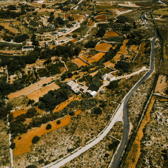
Topographic Mapping & Surveying
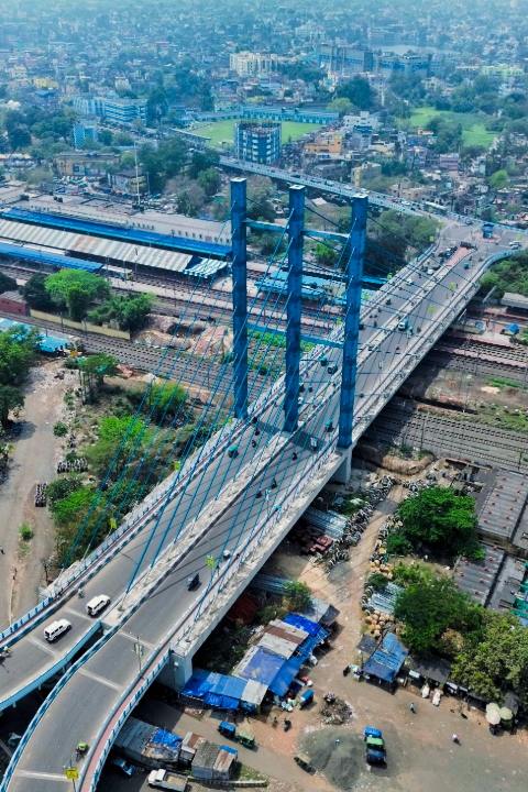
Construction & Infrastructure Planning
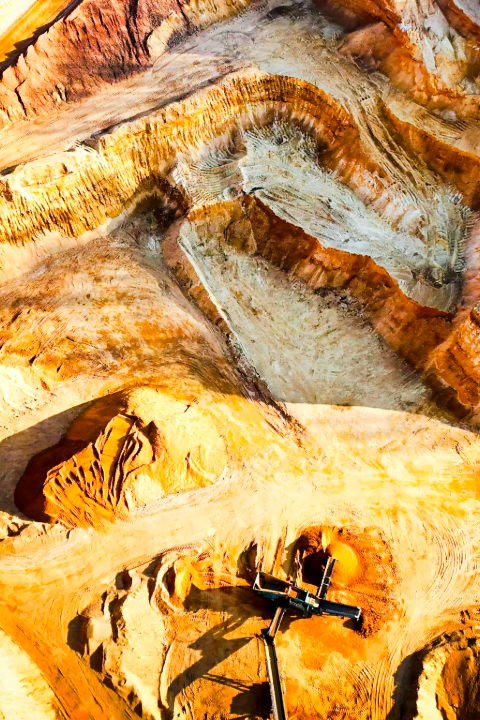
Mining & Quarry Mapping

Road & Corridor Mapping

Disaster & Flood Risk Assessment
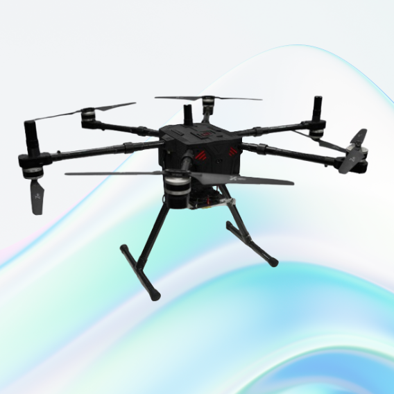
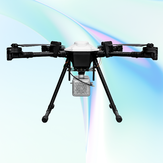
JATAYUH MAX UAV
Powering Smarter Missions
UAV for Every Customised Need
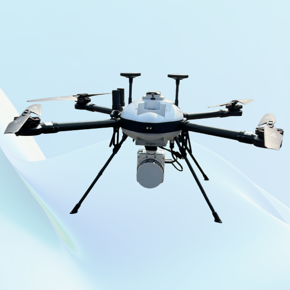
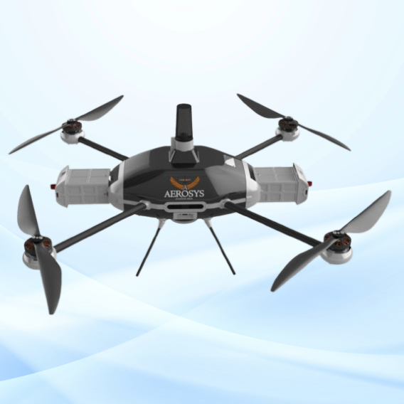
SHAURYA UAV
Delivering Distinction
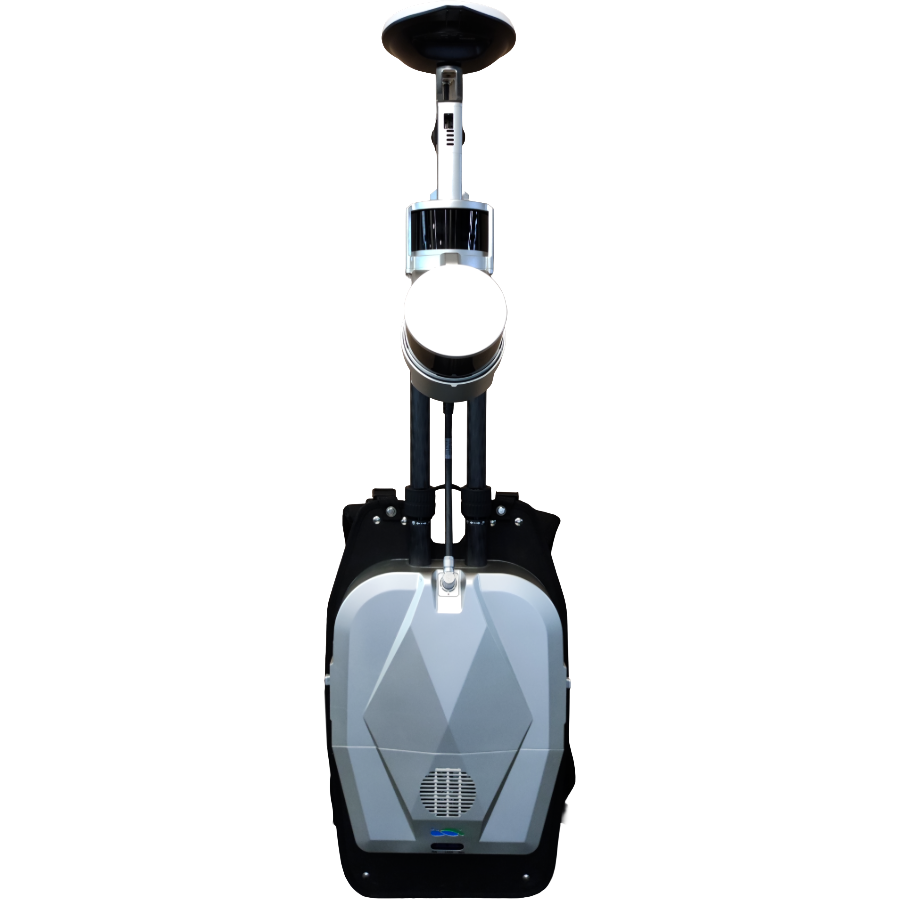
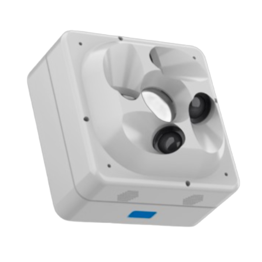
Professional LiDAR & Multispectral Drone