≤
5 cm
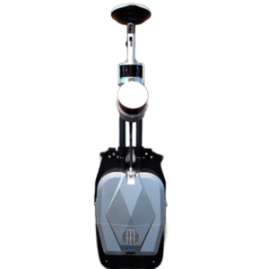
Absolute Accuracy

px
5760 × 2880
Camera Resolution

FOV
Horizontal: 360°
Vertical: 180°(-90~90)
Vertical: 180°(-90~90)

Up to
640,000 pts/sec
Scan Rate
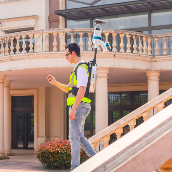

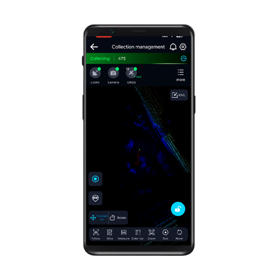
GreenValley App
Real-time 3D visualization and control—monitor, adjust, and capture with confidence.

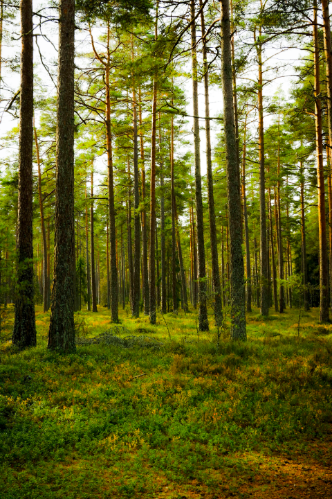
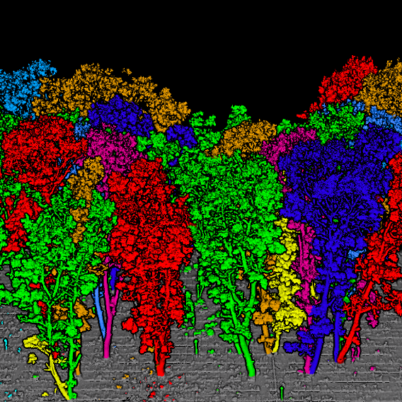
Forestry
Learn More
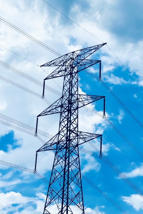
Power Line
Learn More
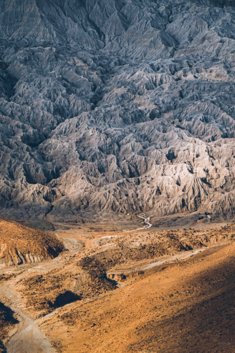
Terrian
Learn More
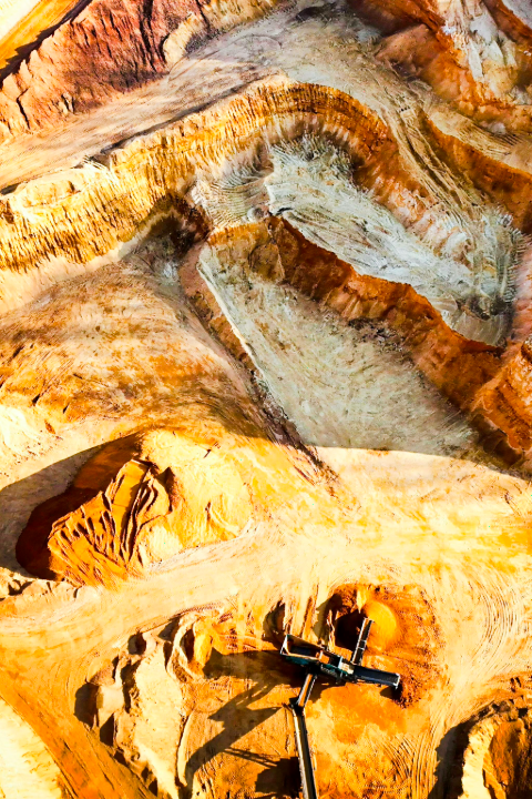
Mining
Learn More
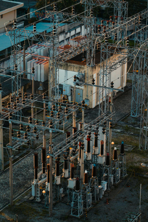
Utilities
Learn More

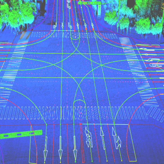
HD Maps
Learn More