

Data Volume and Processing

Sensor Limitations

Environmental Challenges

High Costs and Scalability

Map Maintenance and Updates

Data Privacy and Security

High-precision Accuracy

Faster Data Capture

Scalable Across Diverse Projects

Reliable Data for Autonomous and ADAS System

End-to-end Integrated Solutions

Decision-led Insights

Autonomous Driving & ADAS Mapping
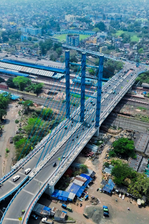
Smart City Infrastructure Mapping

Road Asset & Signage Mapping

Highway & Corridor Mapping

Digital Twin & Simulation Models
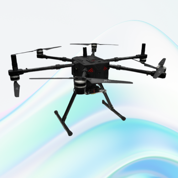
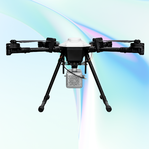
JATAYUH MAX UAV
Powering Smarter Missions
UAV for Every Customised Need
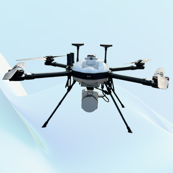
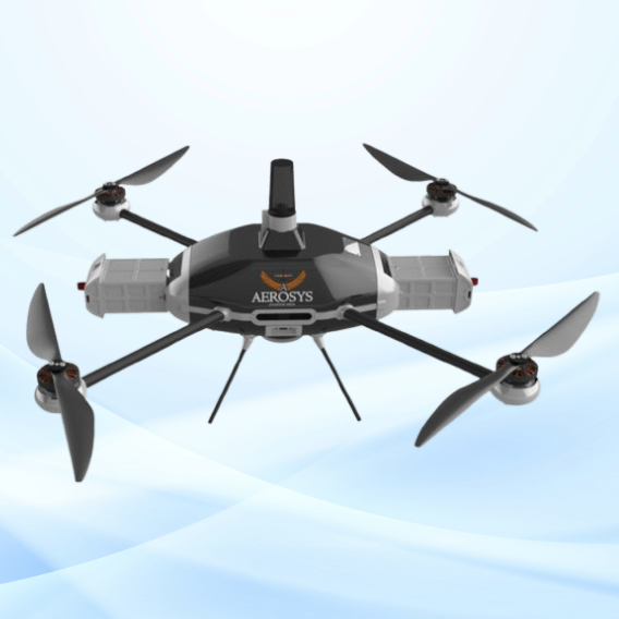
SHAURYA UAV
Delivering Distinction
Professional LiDAR & Multispectral Drone