
Differentiating
Forest Type
Forest Type

Rapid Land-Cover
Change Detection
Change Detection

Data Fragmentation
and Standardization
and Standardization

Monitoring
Belowground Processes
Belowground Processes

Technical, Man-power
and Cost Limitations
and Cost Limitations

Accuracy in
Tropical Regions
Tropical Regions
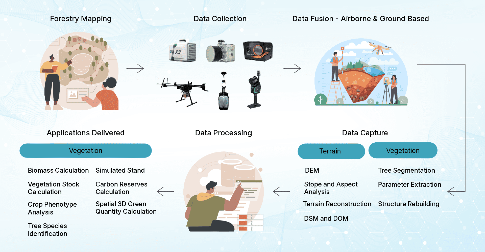

Faster
Forest Surveys
Forest Surveys

Reduced
Operation Costs
Operation Costs

Increased Field
Effort Efficiency
Effort Efficiency

End-to-end
Integrated Solutions
Integrated Solutions

Decision-led
Insights
Insights
Scalable Across
Diverse Projects
Diverse Projects

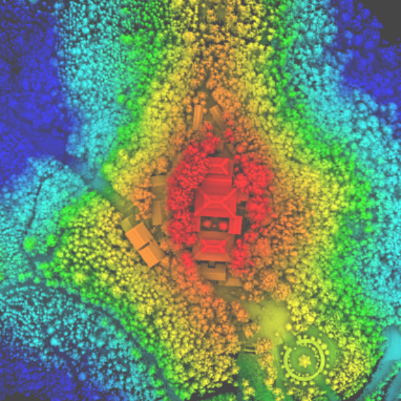
Forest Inventory and Mapping

Biomass & Carbon Estimation

Deforestation Monitoring

Environmental Impact Assessment

Government & Forestry Projects
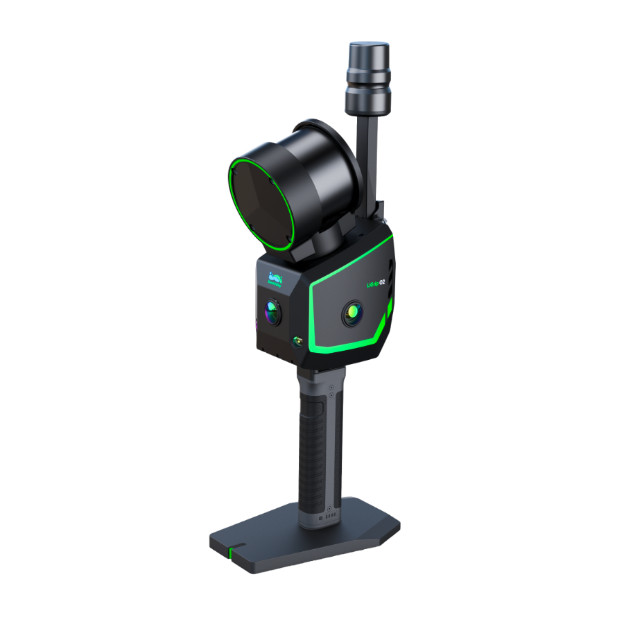
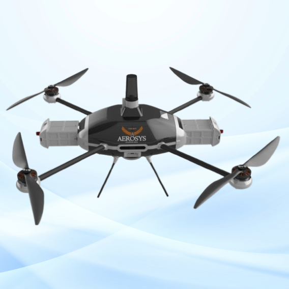
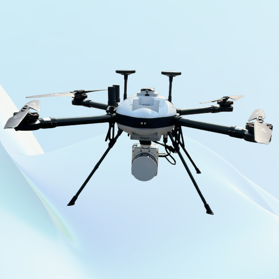
JATAYUH MAX UAV
Powering Smarter Missions
UAV for Every Customised Need
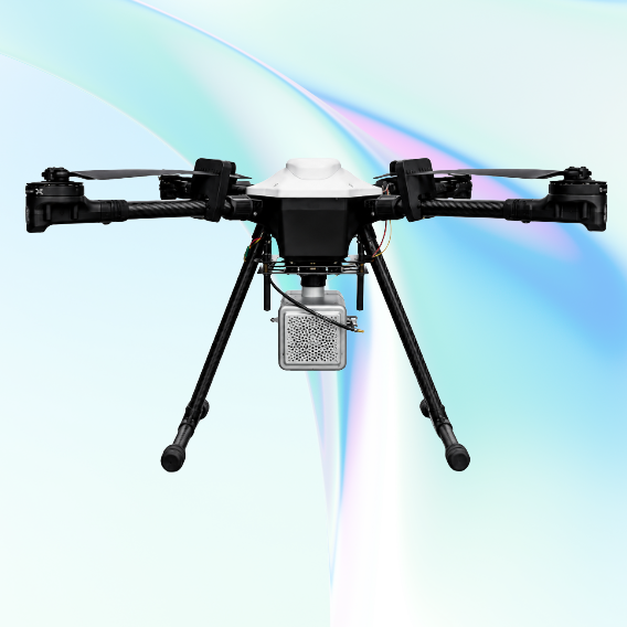
SHAURYA UAV
Delivering Distinction
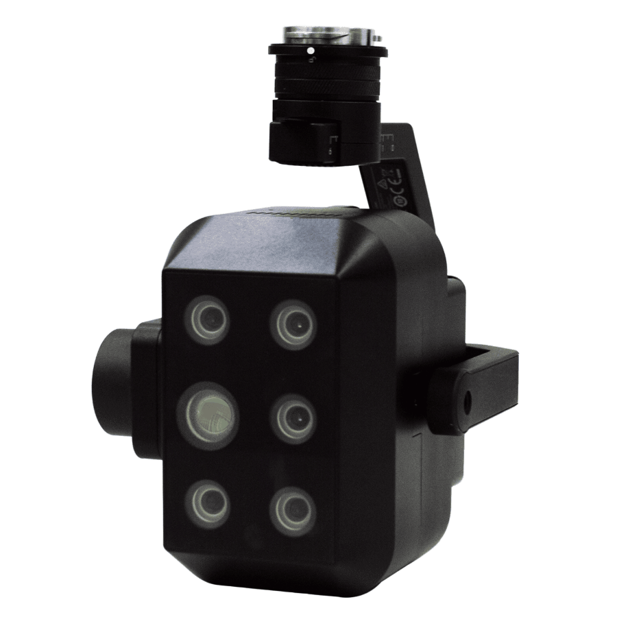
Professional LiDAR & Multispectral Drone