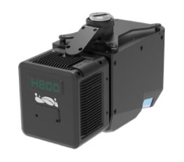
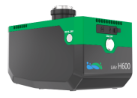
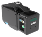
Up to
2.25 kg
Weight

≤
5 cm
Absolute Accuracy

Up to
1000 m
Max Detection Range

Up to
20,00,000 pts/sec
Scan Rate
| Specification |
LiAir H600 |
LiAir H800 |
|---|---|---|
| Weight | 1.3 kg | 2.25 kg |
| Power Consumption | ~50 W | 61 W |
| Maximum Range | 750 m | 1000 m |
| Data Density | 550 kHz | 2000 kHz (2M pts/sec) |
| Field of View | 80° | 100° |
| Area Coverage | >350 m swath | >450 m swath @ 200 m |
| Absolute Accuracy | ±5 cm | ±5 cm |
| Ranging Precision | 5 mm @ 100 m | 3 mm @ 100 m |
| Stability (IMU) | 500 Hz | 1000 Hz |
| Camera | 26 MP/42 MP/61 MP | 26 MP/42 MP/61 MP |
| Best Use Case | Lightweight, endurance missions | Large-scale, high-density missions |
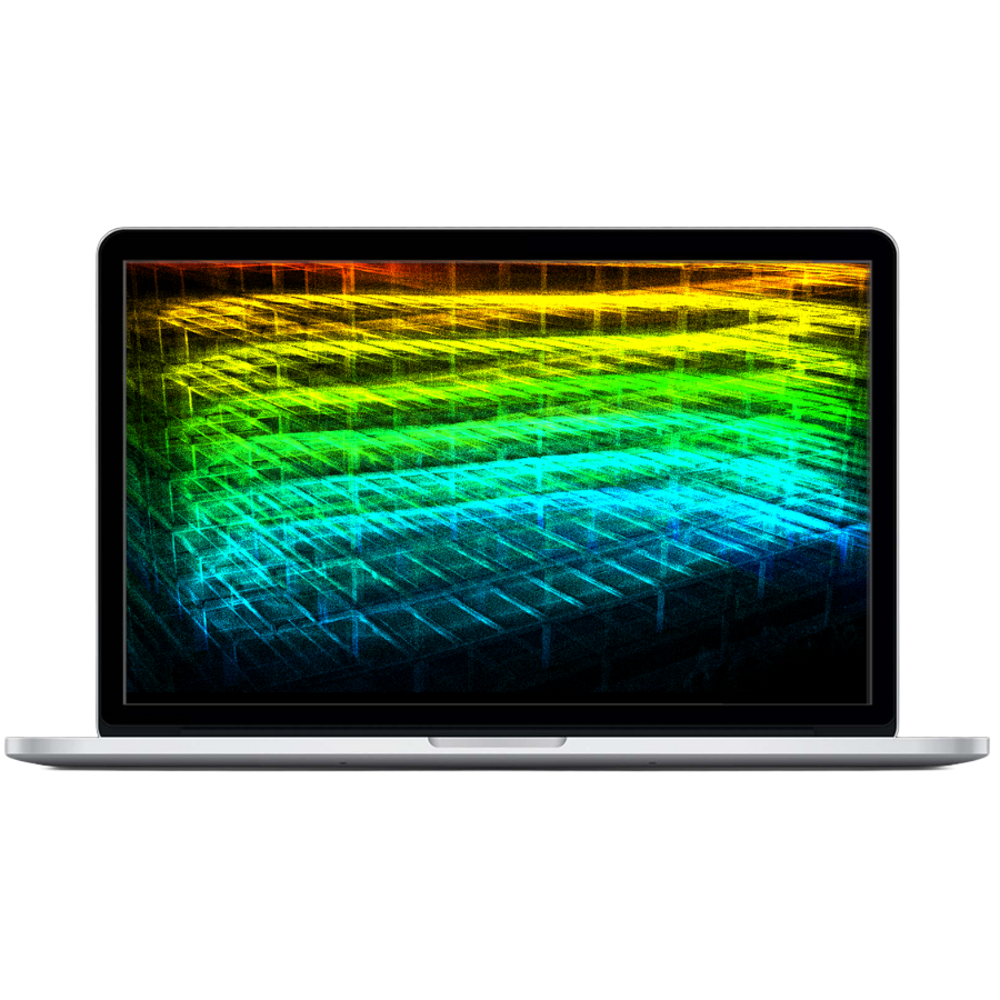

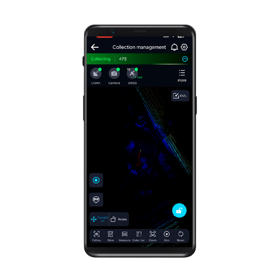
GreenValley App
Real-time 3D visualization and control—monitor, adjust, and capture with confidence.
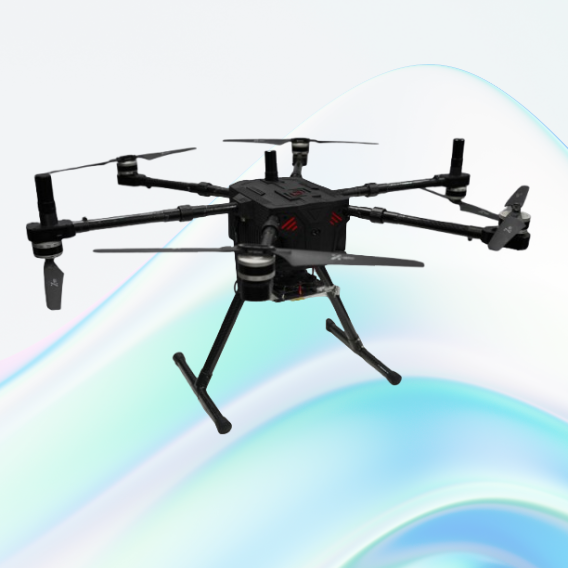
JATAYUH MAX UAV
Powering Smarter Missions
UAV for Every Customised Need
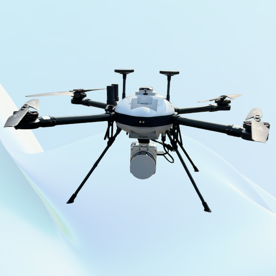
SHAURYA UAV
Delivering Distinction
Professional LiDAR & Multispectral Drone

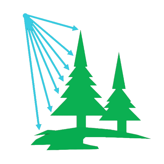
Forestry
Learn More
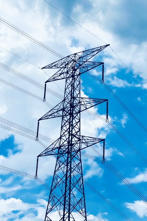
Power Line
Learn More
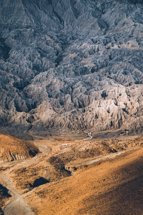
Terrian
Learn More
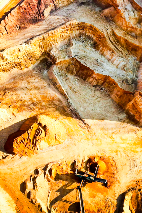
Mining
Learn More
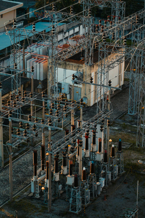
Utilities
Learn More

HD Maps
Learn More
Road & Railway Inspection

Disaster Investigation