Up to
2.2 kg
Weight

≤
3 cm
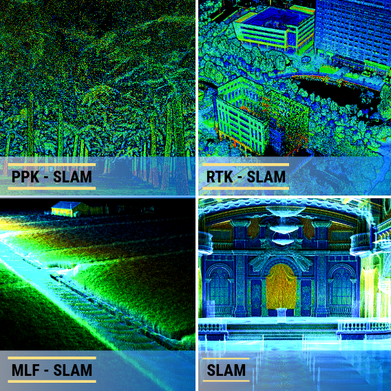
Absolute Accuracy

Up to
70m to 300m
Max Detection Range

Up to
640,000 pts/sec
Scan Rate
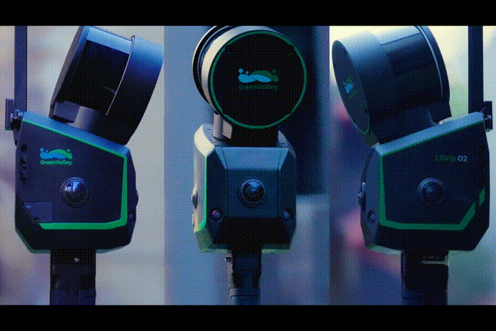
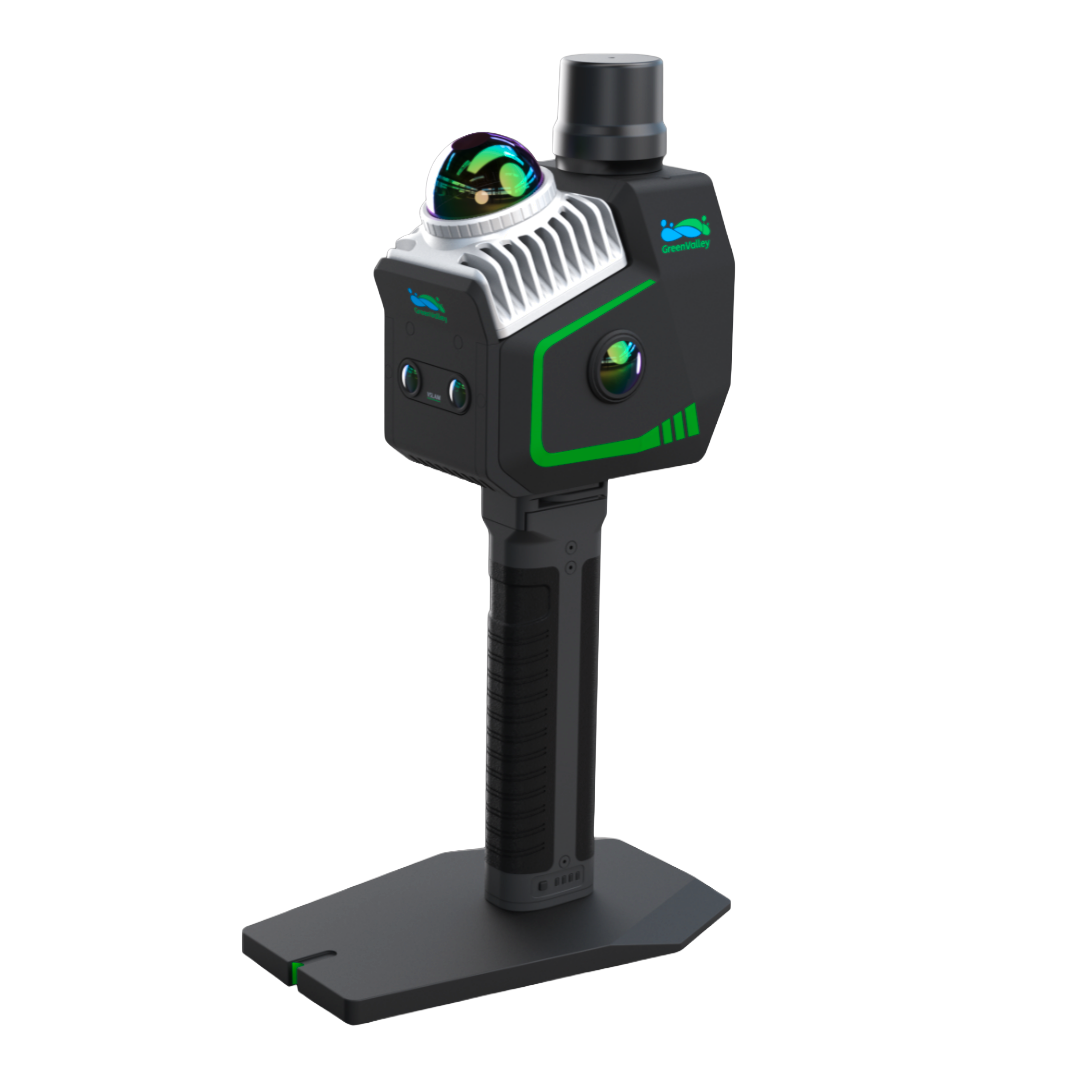
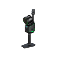
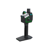
| Specification |
LiGrip O2 |
LiGrip O2 Lite |
|---|---|---|
| Product Type | Flagship handheld SLAM LiDAR scanner | Lightweight handheld SLAM LiDAR scanner |
| Positioning Technology | Multi-sensor fusion SLAM + VSLAM + GNSS | Multi-sensor fusion SLAM + VSLAM + GNSS |
| LiDAR Channels | 16ch / 32ch (3 variants) | — |
| Maximum Range | Up to 300 m | Up to 70 m |
| Absolute Accuracy | ≤ 3 cm | ≤ 3 cm |
| Scan Rate | Up to 640,000 pts/s | 200,000 pts/s |
| Camera System | Triple panoramic (12 MP ×3) + Dual VSLAM | Dual panoramic (12 MP ×2) + Dual VSLAM |
| Storage | 512 GB SSD | 512 GB SSD |
| Weight | 2.2 kg | 1.3 kg |
| Best Use Case | Long-range, high-detail, complex environment | Lightweight, fast, featureless environments |
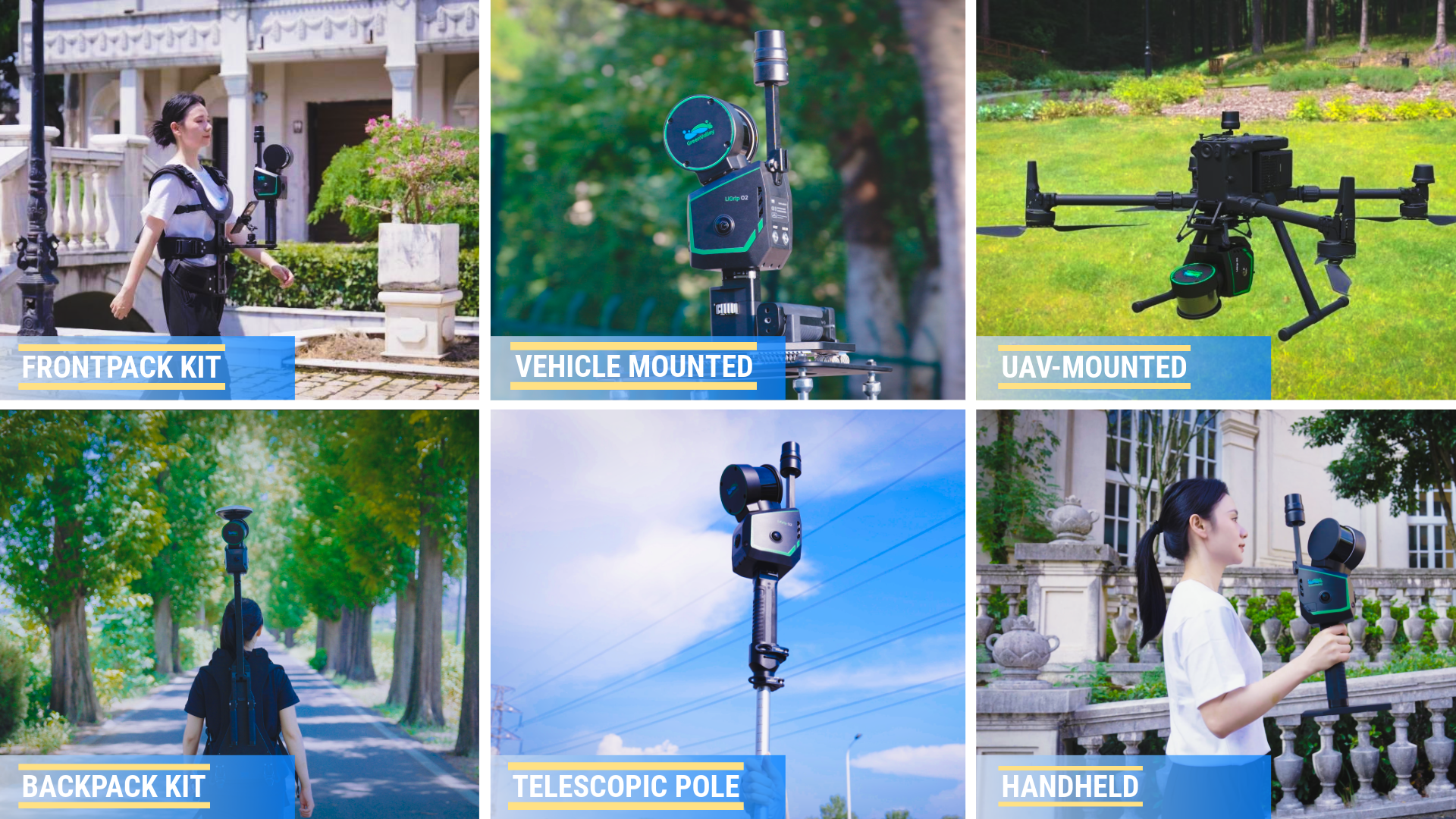
| Supported Kits | Backpack, Front pack, Pole, Vehicle-Mounted, UAV-Mounted | Backpack, Front pack, Pole |
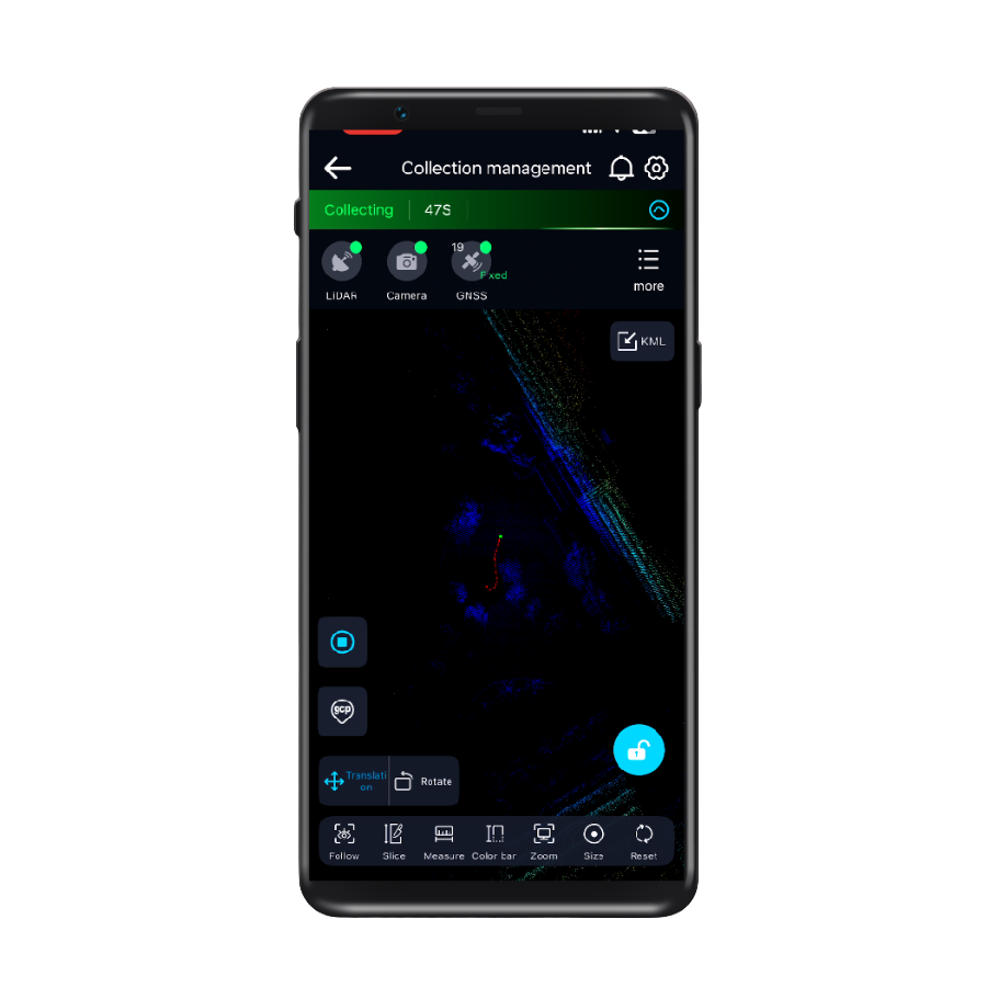
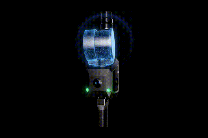
GreenValley App
Real-time 3D visualization and control—monitor, adjust, and capture with confidence.


Forestry
Learn More

Power Line
Learn More

Terrian
Learn More

Mining
Learn More

Utilities
Learn More

HD Maps
Learn More