≤
3 cm
Absolute Accuracy

Up to
475 m
Max Detection Range

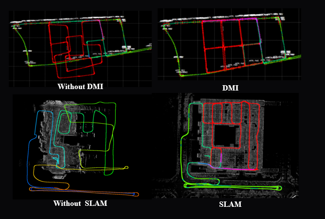
Enabled
Via SLAM
GPS-Denied Mapping

Dual Return
12,80,000 pts/sec
Scan Rate
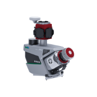
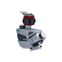
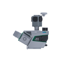
| Specification |
LiMobile M2 |
LiMobile M2 Ultra |
LiMobile M2 Pro |
|---|---|---|---|
| Weight | ~14 kg | ~18 kg | ~18 kg |
| Range | Up to 300 m | Up to 475 m | 75 m up to 1500 m |
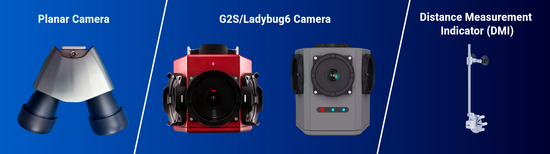
| Camera | 30 MP (upgradable to 72 MP) | 30 MP (upgradable to 72 MP) | 72 MP (Optional 30 MP) |
| Absolute Accuracy | Up to ≤ 5 cm | Up to ≤ 3 cm | Up to ≤ 3 cm |
| LiDAR | Dual LiDAR for wider coverage | High-precision, long-range LiDAR | Advanced high-precision LiDAR |
| Positioning | GNSS + SLAM | GNSS/INS + SLAM | GNSS/INS + SLAM |
| Battery | Up to 6 hrs | Up to 3 hrs | Up to 3 hrs |
| IP Rating | IP 65 | IP 65 | IP 65 |
| Best For | Everyday mapping | Large-scale, high-precision mapping | Survey-grade precision projects |
| Use Cases | Roads, urban mapping, assets | HD maps, digital twins, infrastructure | Survey-grade roads & infrastructure |

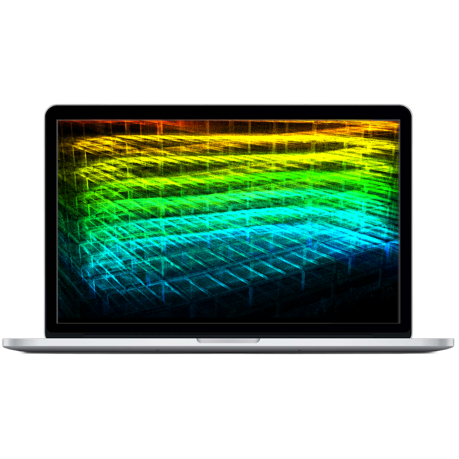
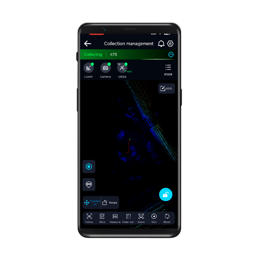
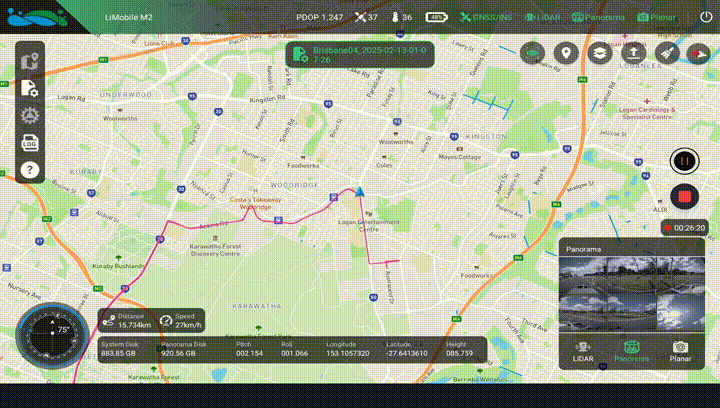
GreenValley App
Real-time 3D visualization and control—monitor, adjust, and capture with confidence.

HD Maps
Learn More
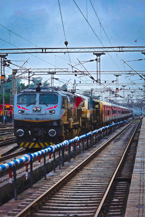
Raod & Railway Inspection

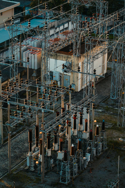
Power Line
Learn More
Utilities
Learn More