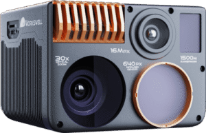
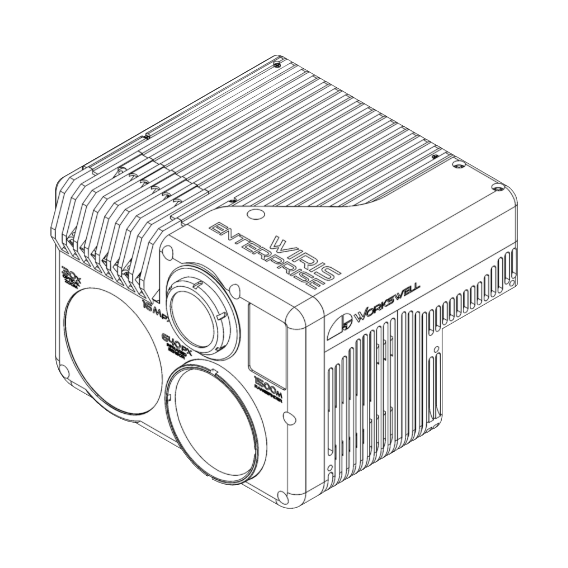
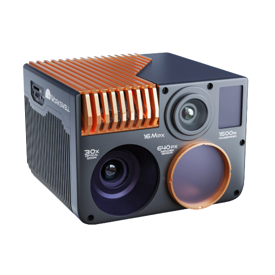
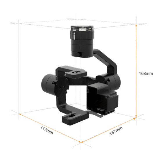
Payload
4-in-1 Multi-Sensor
Video+ RGB+
Radiometric Thermal+ LRF

Detection Range
Up to 1,500 m
Laser Rangefinder

Full HD
1920 × 1080 px
Video Resolution

Radiometric
1,266 × 1,010 px
Thermal Camera Resolution

px
16 MP
Camera RGB

Up to
1500°C
Temperature Range
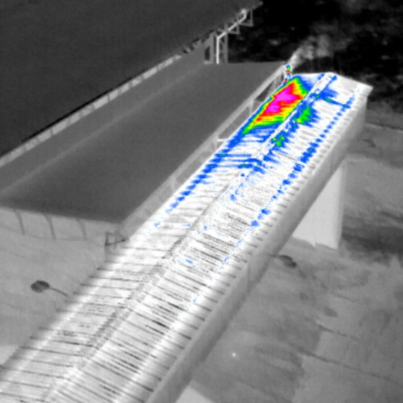
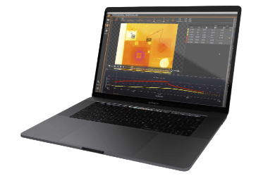
ThermoLab
Advanced thermogram analysis with GPS tagging and RGB visual integration.
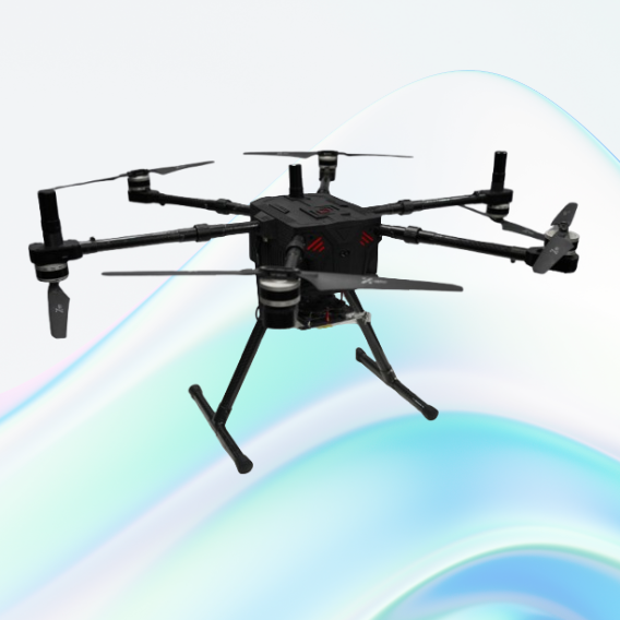
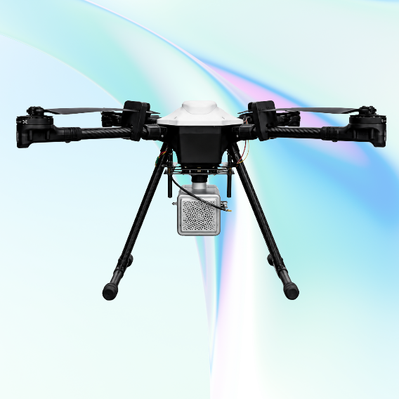
JATAYUH MAX UAV
Powering Smarter Missions
UAV for Every Customised Need
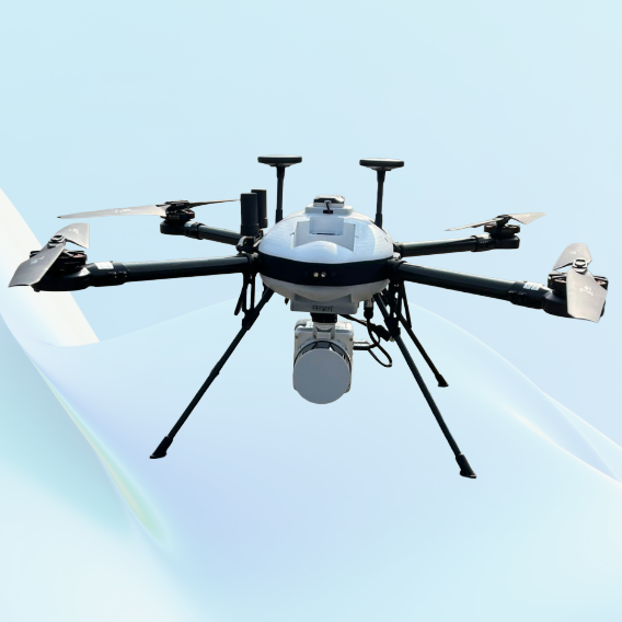
SHAURYA UAV
Delivering Distinction
Professional LiDAR & Multispectral Drone
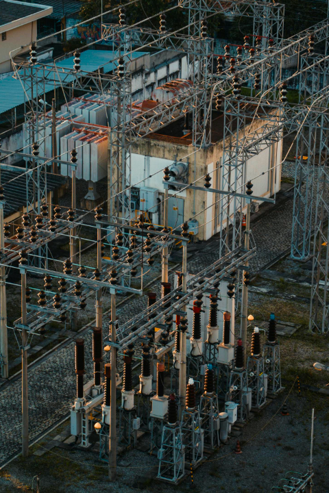
Utilities
Learn More
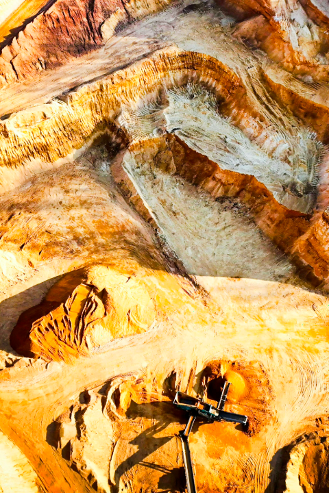
Mining
Learn More
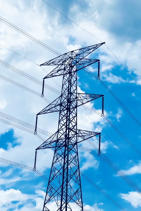
Power Line
Learn More
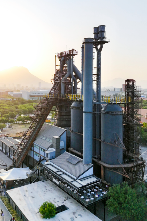
Industrial Inspections
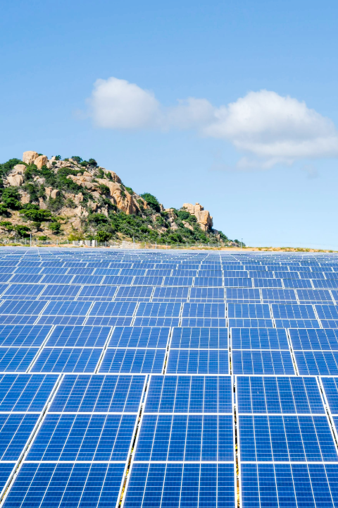
Solar Panel / PV Plant Inspection
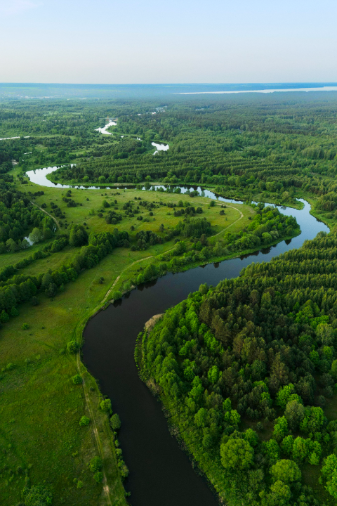
Environmental Monitoring