Industrial-Grade 2D LiDAR Sensors
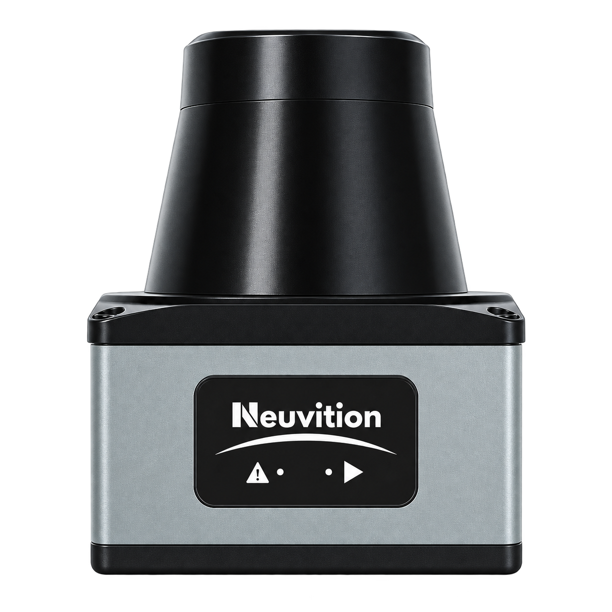
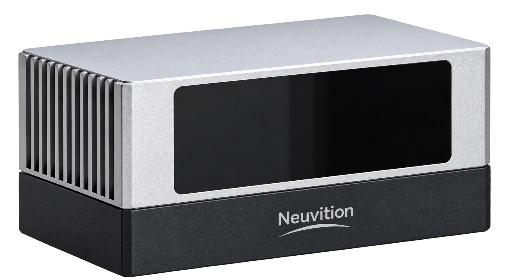
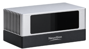
Neuvition Titan W1 & Titan P1
See Wider. Measure Smarter. Capture More.
High-Resolution Perception for Demanding Environments
Capturing distances isn’t enough you need reliable spatial intelligence. Neuvition Titan W1 and Titan P1 industrial-grade 2D LiDAR sensors deliver real-time distance measurement, object detection, and surface profiling across demanding industrial environments. With a 270° field of view on the Titan W1 and high angular resolution on the Titan P1, they capture detailed spatial data for smarter automation, efficient operations, and dependable measurement. Now achieve greater visibility and improved operational efficiency with reliable LiDAR technology.
Key Features
Field of View
Detection Range
Angular Resolution
Measurement Accuracy
Data Acquisition
Industrial Protection
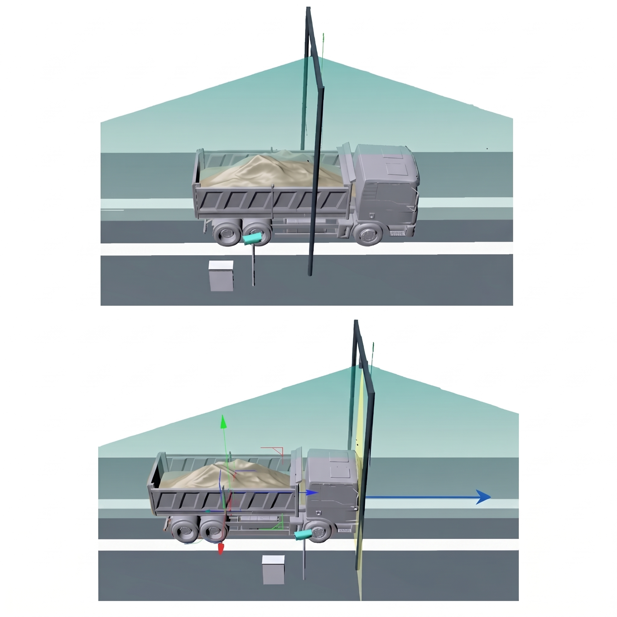
Dual Static & Dynamic Measurement Modes
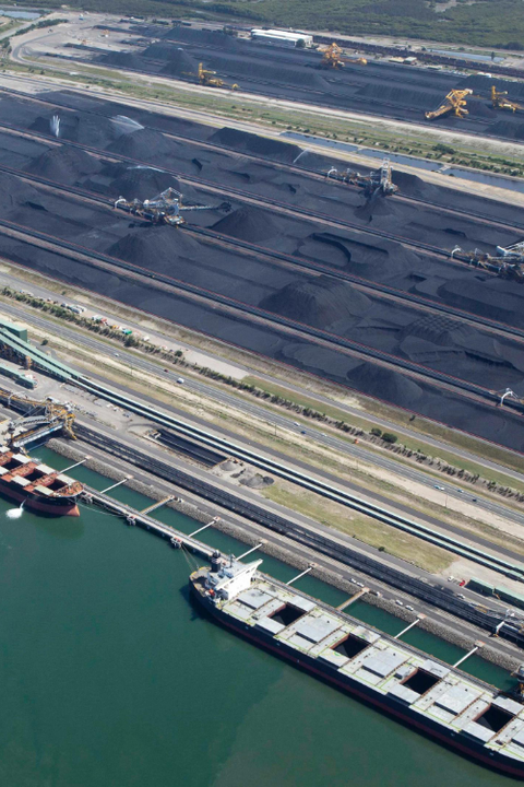
In static mode, trucks stop beneath the scanning gantry for detailed measurement, with typical system accuracy of ±5%. In dynamic mode, trucks can pass through at speeds of up to 10 km/h, with typical system accuracy of ±8%. This flexibility helps mining and logistics operators reduce truck waiting time, measure routine loads without stopping, and reserve static scanning for applications requiring greater measurement accuracy.
Differential Volume Calculation
By measuring the cargo’s shape directly, the system provides a practical alternative to estimating volume from weight and assumed material density. This helps improve inventory tracking and supports more informed decisions across mining and logistics operations.
Fully Automated Real-Time Processing
Results can be generated in under 10 seconds, depending on the system configuration, and displayed on an outdoor LED screen or stored for reporting.
This reduces manual intervention and helps keep material moving efficiently. By shortening measurement cycles, the system helps reduce truck turnaround time, minimize queues at inspection points, and increase throughput at busy mining and logistics facilities.
Open Integration & Scalability
It can be connected to weighbridges, mine dispatch systems, ERP/MIS platforms, and fleet management software. Flexible configurations using one or more Titan W1 or Titan P1 sensors also allow the solution to be tailored to individual lanes or larger measurement installations. This open architecture helps reduce integration effort and supports future system expansion as operational needs grow.
Know more about Titan LiDAR Sensors
| Specification |
Titan W1 |
Titan P1 |
|---|---|---|
| Model | Titan W1 | Titan P1 |
| Distance | 0–40 m | 1–30 m (10% Reflectance), 1–80 m (90% Reflectance) |
| Return Mode | Single Returns | Multiple Returns |
| Repetition Rate | — | H4320 |
| Field of View | H 270° | H 135° |
| Angular Resolution | 0.25° | H 0.044° |
| FPS | — | — |
| Repetition | — | 200,000 Points/s (Max) |
| Weight | 160 g | 1.2 kg |
| Size | 60 mm × 60 mm × 80 mm | 134 mm × 111 mm × 136 mm |
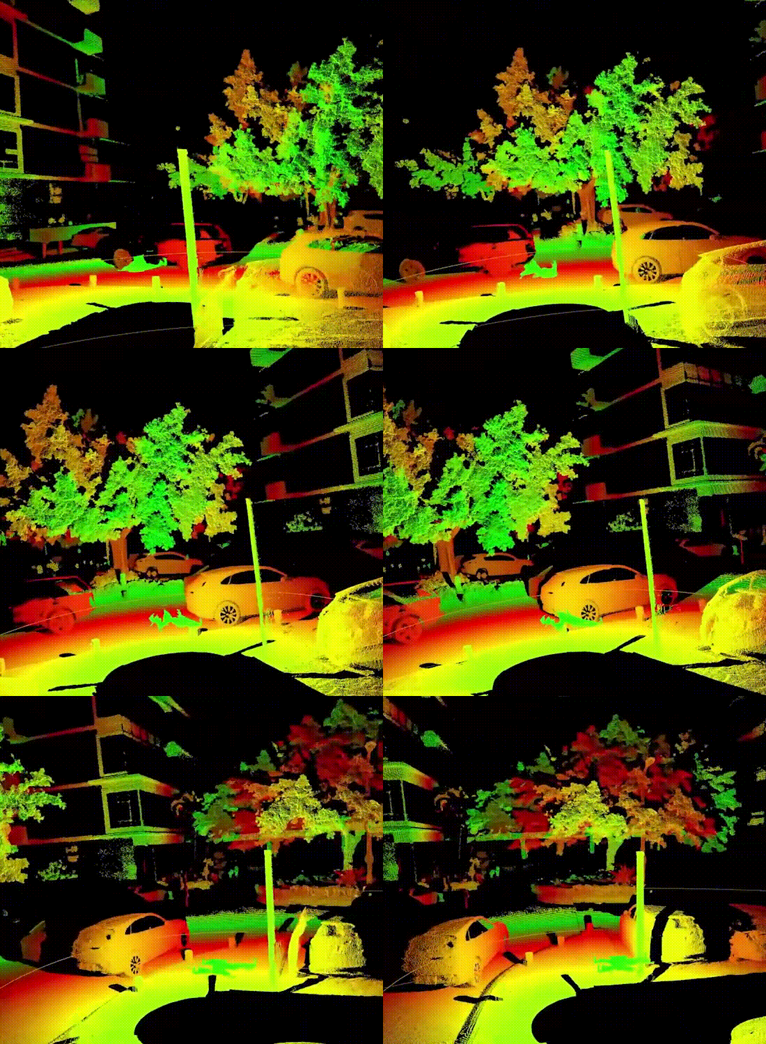
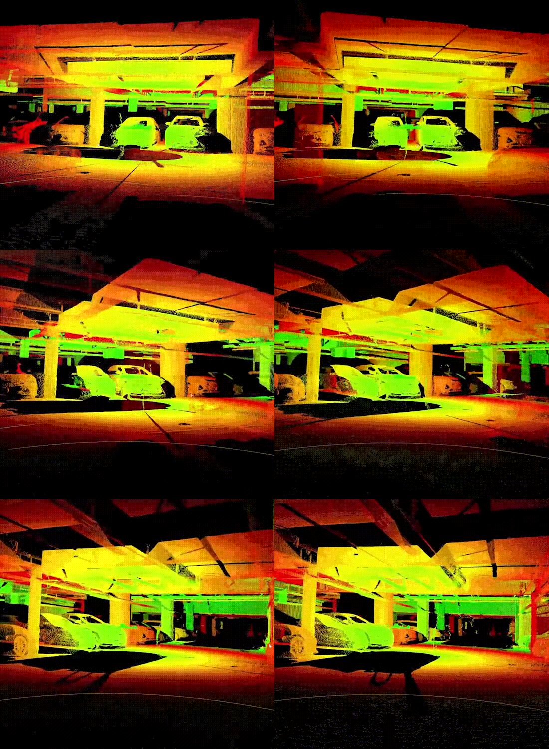
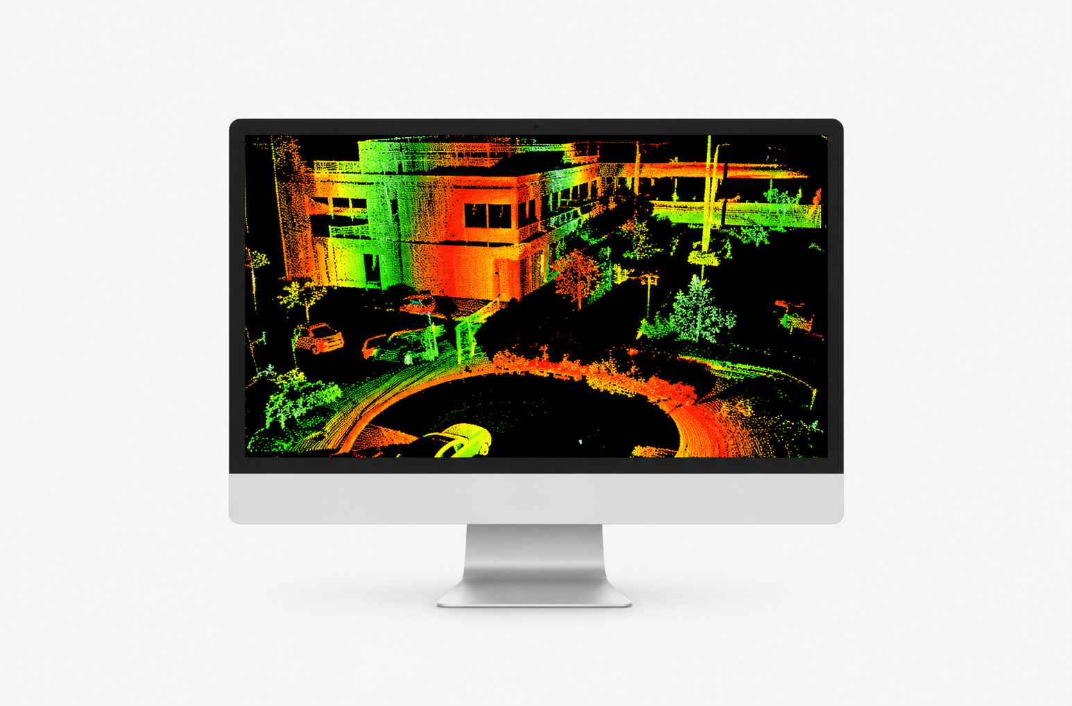
USE CASE POINT CLOUD


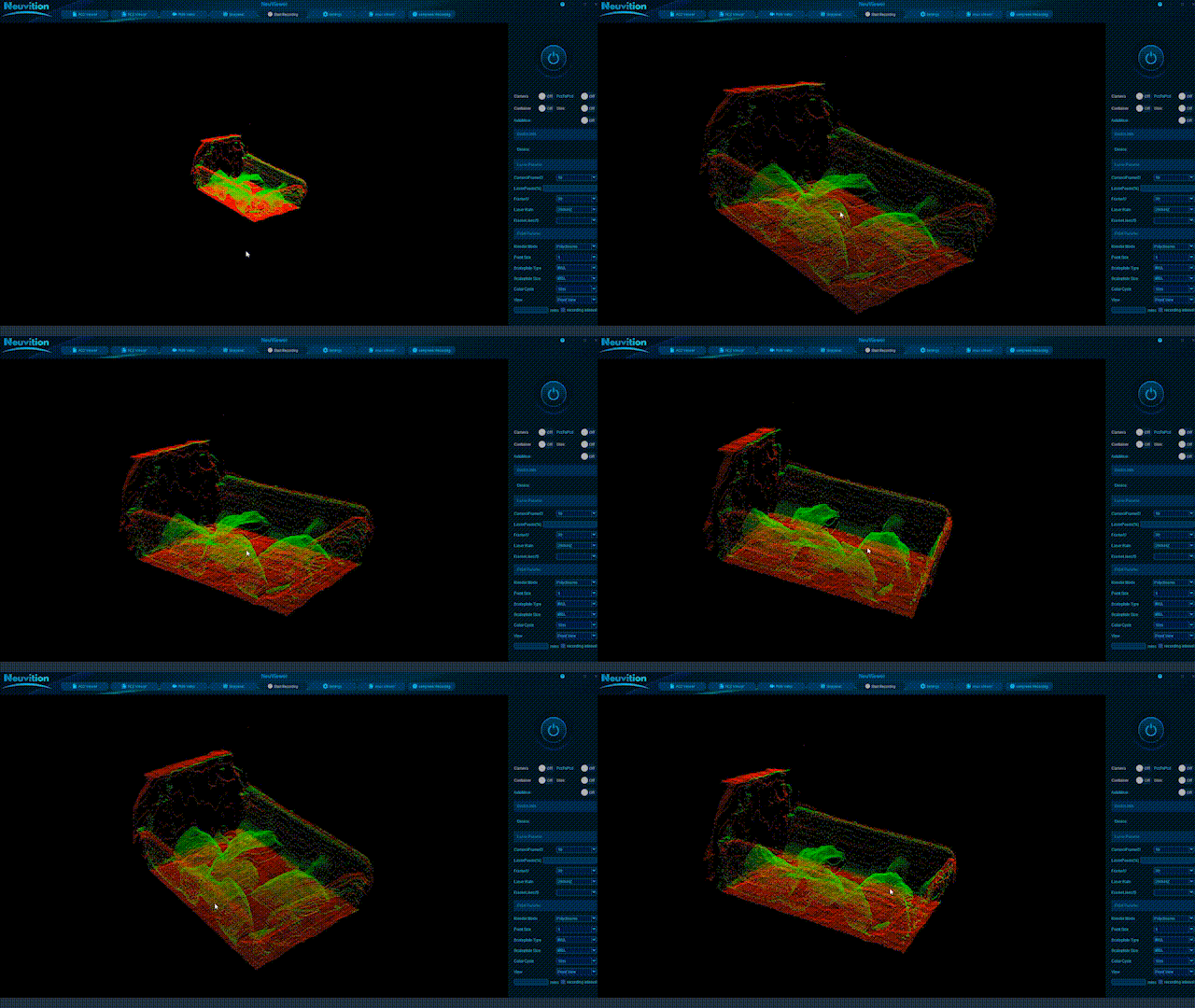
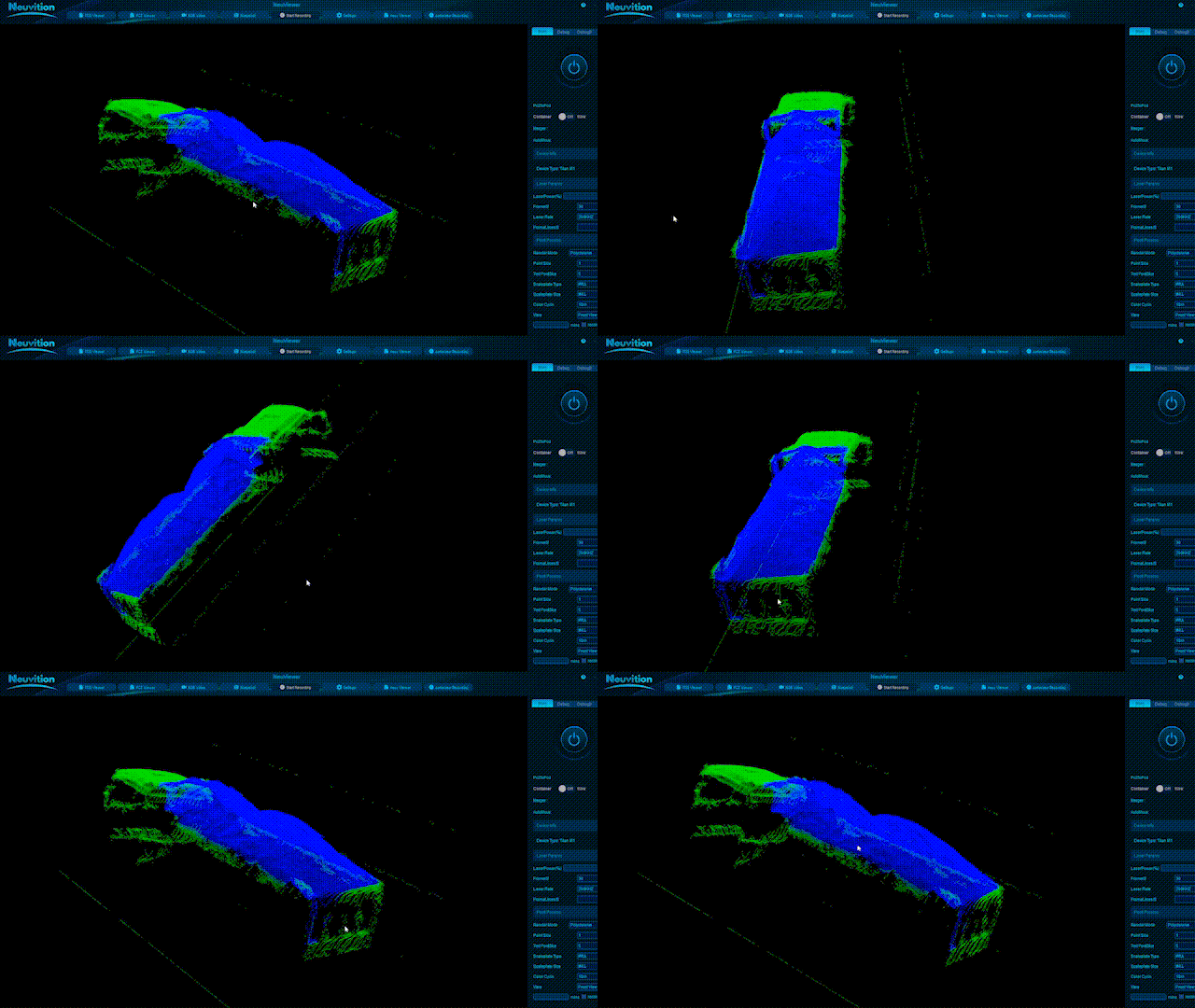
Visualize real-world environments through detailed LiDAR point clouds. Identify vehicles, structures, vegetation, and surrounding objects with colour-coded spatial data for accurate mapping, scene analysis, and 3D environment understanding.
Compatible Software
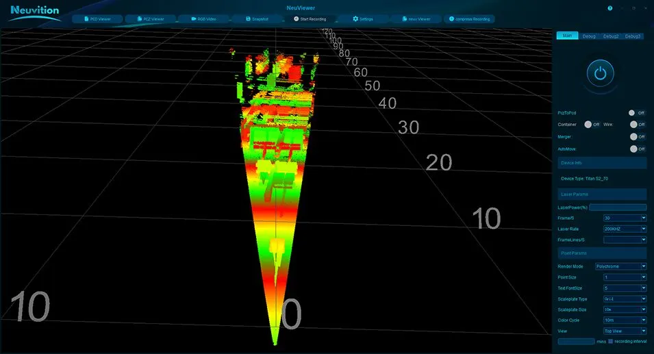
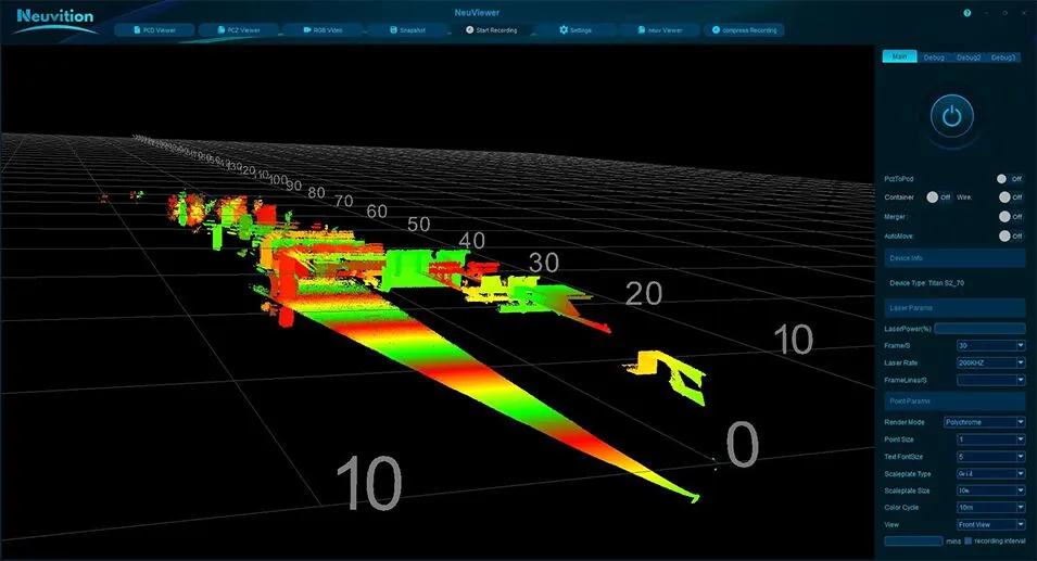
NeuViewer
Visualize, configure, record, and replay LiDAR point-cloud data in real time.
NeuViewer SDK
Integrate LiDAR data into custom applications with a flexible, cross-platform development toolkit.

AI Vision
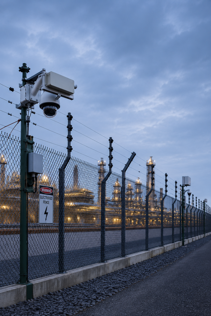
Combine AI-powered visual recognition with LiDAR data for real-time object and intrusion detection.
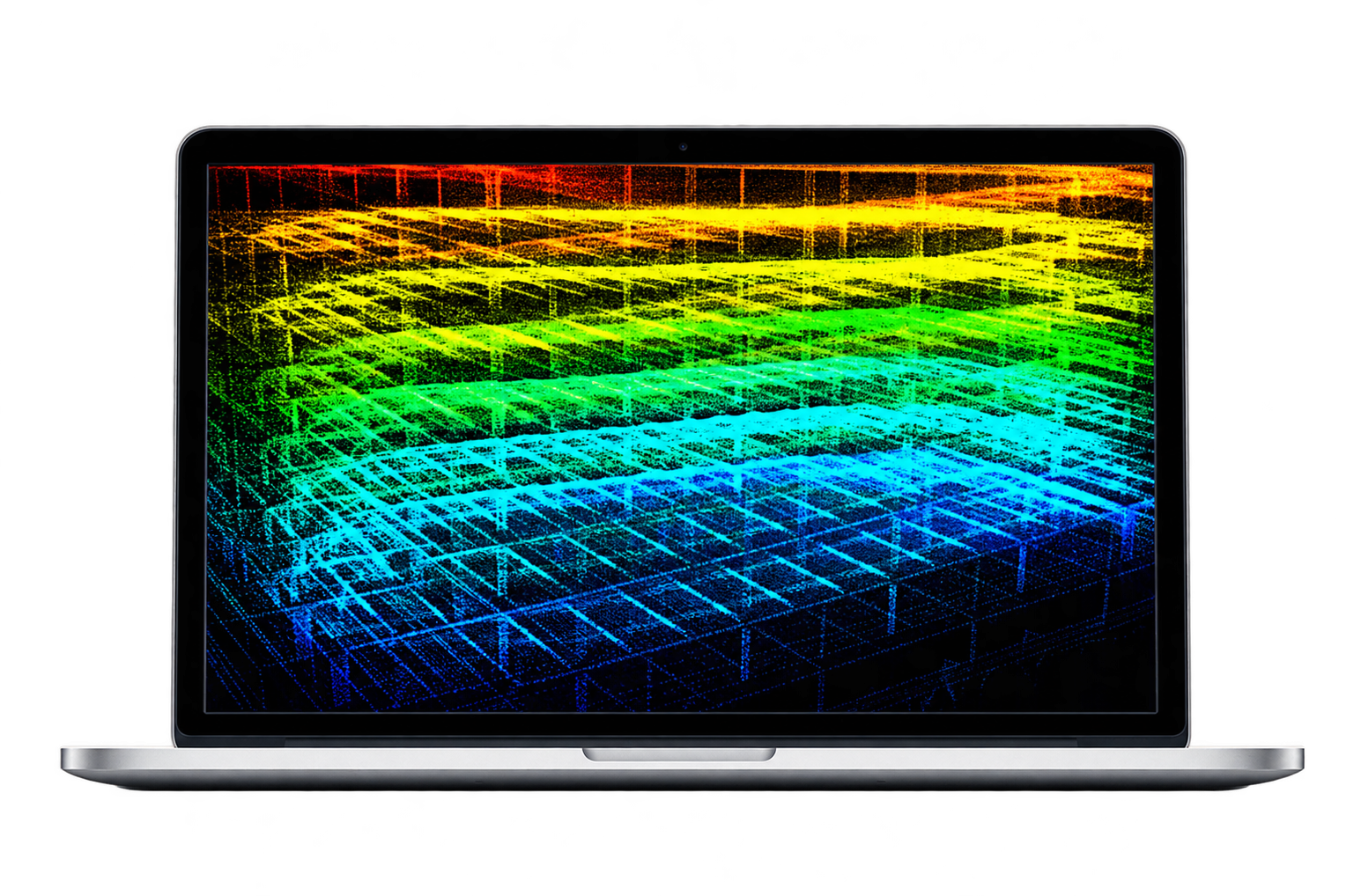
Applications
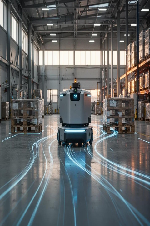
In today’s fast-evolving world, accurate measurement demands more than data—it needs intelligent sensing. Advanced LiDAR solutions deliver reliable distance measurement, real-time scanning, and versatile performance across industrial applications.
Ready for the Next Level of 3D Perception?
Discover how high-resolution LiDAR can strengthen detection, mapping, and spatial awareness.